
Place · Route 1 · Route 99
Road conditions near Jökulsárlón and Höfn
Easily passable.
Assessed by Vegagerðin 05:18Checked 12:25 · Iceland time (GMT) · Monday 2 November
Roads in and out
- West · to Skaftafell
1Breiðamerkursandur and Öræfi
Easily passable· 05:18
Show sections (3)
- Hringvegur um Breiðamerkursand: Jökulsá - KvíáEasily passable· 05:18Cleared every day · Winter service: 08:30–21:30 weekdays, 10:00–19:00 weekends
- Hringvegur: Fagurhólsmýri-KvískerEasily passable· 05:18Cleared every day · Winter service: 08:30–21:30 weekdays, 10:00–19:00 weekends
- Hringvegur: Fagurhólsmýri - FreysnesEasily passable· 05:18Cleared every day · Winter service: 08:30–21:30 weekdays, 08:30–19:00 weekends
- East · to Höfn
199Along Suðursveit and Hornafjörður
Easily passable· 05:18
Show sections (3)
- Hringvegur: Hornafjarðarvegur (Hólmur) - JökulsáEasily passable· 05:18Cleared every day · Winter service: 09:30–20:30 weekdays, 11:00–19:00 weekends
- HornafjarðarfljótEasily passable· 05:18Cleared every day · Winter service: 09:30–20:30 weekdays, 11:00–19:00 weekends
- HafnarvegurEasily passable· 05:18Cleared every day · Winter service: 07:30–20:00 weekdays, 08:00–19:00 weekends
- Beyond Höfn · to Djúpivogur
1Lón and Hvalnes
Easily passable· 05:18
Show sections (2)
- Hringvegur: Hvalnes - HafnarvegurEasily passable· 05:18Cleared every day · Winter service: 08:30–19:30 weekdays, 10:00–18:30 weekends
- Hringvegur: Þvottá - HvalnesEasily passable· 05:18Cleared every day · Winter service: 08:30–19:30 weekdays, 10:00–18:30 weekends
- Easily passable
- Spots of ice
- Difficult condition
- Closed
Alert me about Jökulsárlón and Höfn
Get a push notification when a road here changes or closes — before you leave or while you drive.
Free app. Road alerts with Premium or a Trip Pass.
Weather along the way
Vegagerðin · m/s| Station | Wind (m/s) | Gusts (m/s) | Air | Road surface | Measured |
|---|---|---|---|---|---|
| Sandfell í Öræfum | NW 1 | 2 | 9 °C | 5 °C | 12:20 |
| Skógey | SSE 4 | 5 | 7 °C | 3 °C | 12:20 |
| Hvalnes | W 12 | 15 | 8 °C | 7 °C | 12:20 |
| Kvísker | SSW 14 | 21 | 11 °C | 6 °C | 12:20 |
| Borgarhöfn | SSE 2 | 4 | 8 °C | 4 °C | 12:20 |
| Hvaldalsá | NE 3 | 10 | 9 °C | 8 °C | 12:20 |
| Hrútá | ENE 2 | 5 | 9 °C | – | 12:20 |
| Reynivellir | ESE 1 | 2 | 9 °C | – | 12:20 |
Sandfell í Öræfum12:20
- Wind
- NW 1
- Gusts
- 2
- Air
- 9°
- Road surface
- 5°
Skógey12:20
- Wind
- SSE 4
- Gusts
- 5
- Air
- 7°
- Road surface
- 3°
Hvalnes12:20
- Wind
- W 12
- Gusts
- 15
- Air
- 8°
- Road surface
- 7°
Kvísker12:20
- Wind
- SSW 14
- Gusts
- 21
- Air
- 11°
- Road surface
- 6°
Borgarhöfn12:20
- Wind
- SSE 2
- Gusts
- 4
- Air
- 8°
- Road surface
- 4°
Hvaldalsá12:20
- Wind
- NE 3
- Gusts
- 10
- Air
- 9°
- Road surface
- 8°
Hrútá12:20
- Wind
- ENE 2
- Gusts
- 5
- Air
- 9°
- Road surface
- –
Reynivellir12:20
- Wind
- ESE 1
- Gusts
- 2
- Air
- 9°
- Road surface
- –
Webcams

KvískerKvísker séð til norðaustursHringvegur (1) · Latest image from Vegagerðin 
HestgerðiHestgerði til austursHringvegur (1) · Latest image from Vegagerðin 
Almannaskarð - norðurAlmannaskarð séð til norðursHringvegur (1) · Latest image from Vegagerðin 
SkógeySkógey til austursHringvegur (1) · Latest image from Vegagerðin 
Almannaskarð - suðurAlmannaskarð niður á veg til suðursHringvegur (1) · Latest image from Vegagerðin 
HólmurHólmur til austursHringvegur (1) · Latest image from Vegagerðin 
HvalnesskriðurHvalnesskriður til suðursHringvegur (1) · Latest image from Vegagerðin 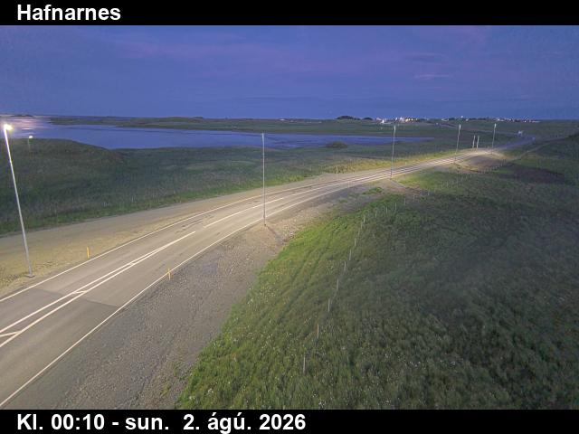
HafnarnesHafnarnesHringvegur (1) · Latest image from Vegagerðin
Before you drive
Local notes from the Færð og Veður team
Between Skaftafell and Höfn the Ring Road runs along the foot of Vatnajökull with almost no towns or services. The Öræfi area is known for strong gusts coming down off the glacier.
Jökulsárlón and Diamond Beach are right beside Route 1. Pull in and out carefully when visibility is poor.
Nearby
Free app
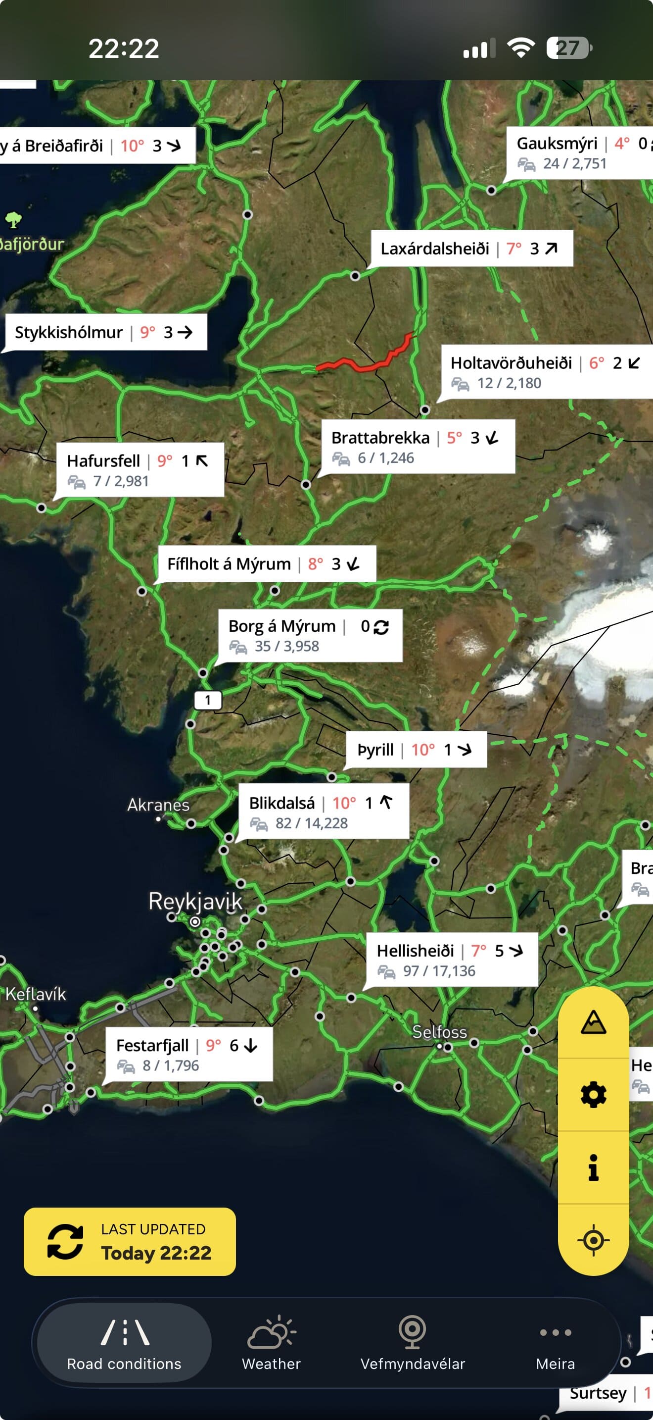
This page shows the roads now. The app tells you when they change.
Færð og Veður — Iceland Road Conditions — has the same map, webcams and weather in your pocket.
- Follow your roads. Get a push notification when a road on your route changes condition or closes. Premium or Trip Pass.
- Weather warnings from the Icelandic Met Office on the map, and as notifications with Premium.
- The whole road map with webcams and weather stations along the way.
- No account. Download and open.


Planning on a laptop? Scan to get it on your phone
Road conditions, closures, weather stations and webcams: Vegagerðin (the Icelandic Road and Coastal Administration). Weather warnings: Veðurstofa Íslands (the Icelandic Met Office). Roadinfo is independent and not run by either. A road shown as passable is not a promise that a trip is safe. Travel information can be confirmed by calling 1777. In an emergency call 112. Displayed under Vegagerðin’s terms and conditions.