
Mountain pass · Route 1
Möðrudalsöræfi road conditions
Easily passable.
Assessed by Vegagerðin 05:15–05:19Checked 12:30 · Iceland time (GMT) · Monday 2 November
The pass today
- Mývatnsöræfi
1East of Mývatn
Easily passable· 05:19
Show sections (2)
- Mývatnsöræfi: Mývatnsvegur - JarðbaðsvegurEasily passable· 05:15Cleared every day · Winter service: 08:00–19:30 weekdays, 09:30–19:00 weekends
- Hringvegur: MývatnsöræfiEasily passable· 05:19Cleared every day · Winter service: 08:00–19:30 weekdays, 09:30–19:00 weekends
- Möðrudalsöræfi
1Biskupsháls and Háreksstaðaleið
Easily passable· 05:19
Show sections (2)
- Hringvegur: BiskupshálsEasily passable· 05:19Cleared every day · Winter service: 09:00–19:30 weekdays, 10:30–18:30 weekends
- Hringvegur: Háreksstaðaleið N, sýslumörk - NorðausturvegurEasily passable· 05:19Cleared every day · Winter service: 09:00–19:30 weekdays, 10:30–18:30 weekends
- Easily passable
- Spots of ice
- Difficult condition
- Closed
Alert me if this changes
Get a push notification when a road here changes or closes — before you leave or while you drive.
Free app. Road alerts with Premium or a Trip Pass.
Weather along the way
Vegagerðin · m/s| Station | Wind (m/s) | Gusts (m/s) | Air | Road surface | Measured |
|---|---|---|---|---|---|
| Mývatnsöræfi | SW 6 | 9 | 7 °C | 4 °C | 12:30 |
| Möðrudalsöræfi | SW 8 | 11 | 7 °C | 1 °C | 12:30 |
| Biskupsháls | SE 2 | 3 | 5 °C | 4 °C | 12:30 |
Mývatnsöræfi12:30
- Wind
- SW 6
- Gusts
- 9
- Air
- 7°
- Road surface
- 4°
Möðrudalsöræfi12:30
- Wind
- SW 8
- Gusts
- 11
- Air
- 7°
- Road surface
- 1°
Biskupsháls12:30
- Wind
- SE 2
- Gusts
- 3
- Air
- 5°
- Road surface
- 4°
Webcams

MývatnsöræfiMývatnsöræfi til vestursHringvegur (1) · Latest image from Vegagerðin 
MývatnsöræfiMývatnsöræfi niður á vegHringvegur (1) · Latest image from Vegagerðin 
MývatnsöræfiMývatnsöræfi til austursHringvegur (1) · Latest image from Vegagerðin 
BiskupshálsBiskupsháls - norðurHringvegur (1) · Latest image from Vegagerðin 
BiskupshálsBiskupshálsHringvegur (1) · Latest image from Vegagerðin 
BiskupshálsBiskupsháls - suðurHringvegur (1) · Latest image from Vegagerðin 
VegaskarðVegaskarð til austursHringvegur (1) · Latest image from Vegagerðin 
VegaskarðVegaskarð niður á vegHringvegur (1) · Latest image from Vegagerðin 
VegaskarðVegaskarð niður á vegHringvegur (1) · Latest image from Vegagerðin 
MöðrudalsöræfiMöðrudalsöræfi séð til norðvestursHringvegur (1) · Latest image from Vegagerðin 
MöðrudalsöræfiMöðrudalsöræfi séð niður á vegHringvegur (1) · Latest image from Vegagerðin 
MöðrudalsöræfiMöðrudalsöræfi séð til suðaustursHringvegur (1) · Latest image from Vegagerðin
Before you drive
Local notes from the Færð og Veður team
Mývatns- og Möðrudalsöræfi is the Ring Road’s high crossing between Mývatn and Egilsstaðir — exposed moorland where snowdrift and storms close the road more often than on most of Route 1.
There is no short detour when it closes. Wait for it to reopen rather than looking for a way round.
Nearby
Free app
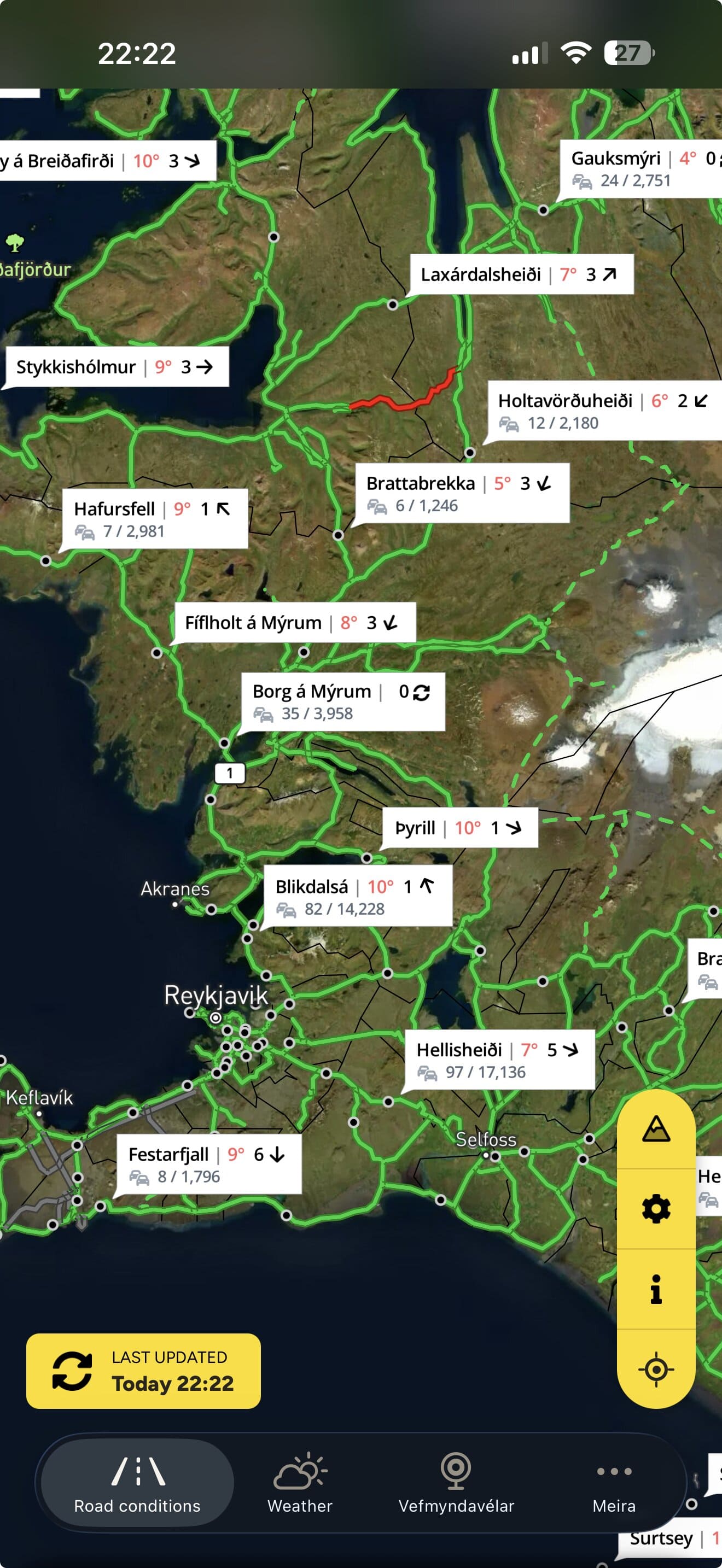
This page shows the roads now. The app tells you when they change.
Færð og Veður — Iceland Road Conditions — has the same map, webcams and weather in your pocket.
- Follow your roads. Get a push notification when a road on your route changes condition or closes. Premium or Trip Pass.
- Weather warnings from the Icelandic Met Office on the map, and as notifications with Premium.
- The whole road map with webcams and weather stations along the way.
- No account. Download and open.


Planning on a laptop? Scan to get it on your phone
Road conditions, closures, weather stations and webcams: Vegagerðin (the Icelandic Road and Coastal Administration). Weather warnings: Veðurstofa Íslands (the Icelandic Met Office). Roadinfo is independent and not run by either. A road shown as passable is not a promise that a trip is safe. Travel information can be confirmed by calling 1777. In an emergency call 112. Displayed under Vegagerðin’s terms and conditions.